> ## Documentation Index
> Fetch the complete documentation index at: https://docs.appliedaifoundation.org/llms.txt
> Use this file to discover all available pages before exploring further.
# Voyage maps
> Interactive map view of vessel routes with voyage-level filtering and table sync.
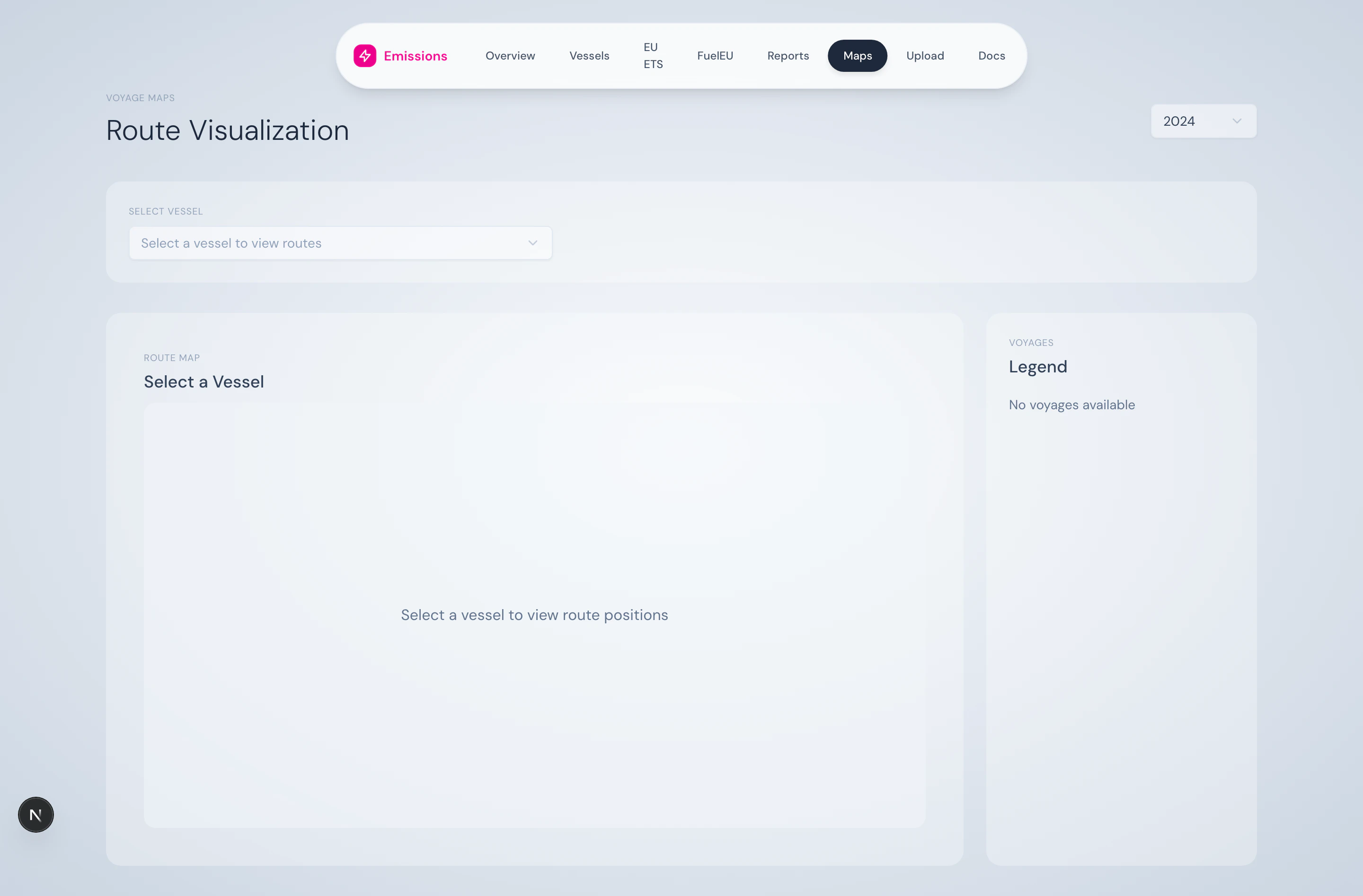
The Maps page lets you see where a vessel actually went. Position records from the consumption log are plotted on a Mapbox GL map, coloured by voyage, with a legend that filters both the map and the table beneath it.
 ## What's on the page
### Vessel selector + year
A dropdown picks the vessel; the global year selector picks the year. Together they scope the position data shown.
### Map (Mapbox GL)
## What's on the page
### Vessel selector + year
A dropdown picks the vessel; the global year selector picks the year. Together they scope the position data shown.
### Map (Mapbox GL)
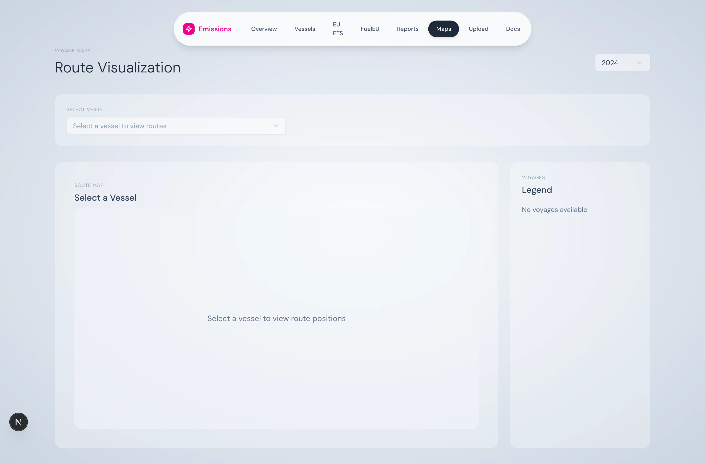 Position points are connected into routes, one route per voyage. Five colours rotate from the brand palette (magenta, green, orange, purple, cyan). The map auto-fits to the vessel's full coverage on selection. A position-count badge tells you how many records are plotted.
### Voyage legend
Position points are connected into routes, one route per voyage. Five colours rotate from the brand palette (magenta, green, orange, purple, cyan). The map auto-fits to the vessel's full coverage on selection. A position-count badge tells you how many records are plotted.
### Voyage legend
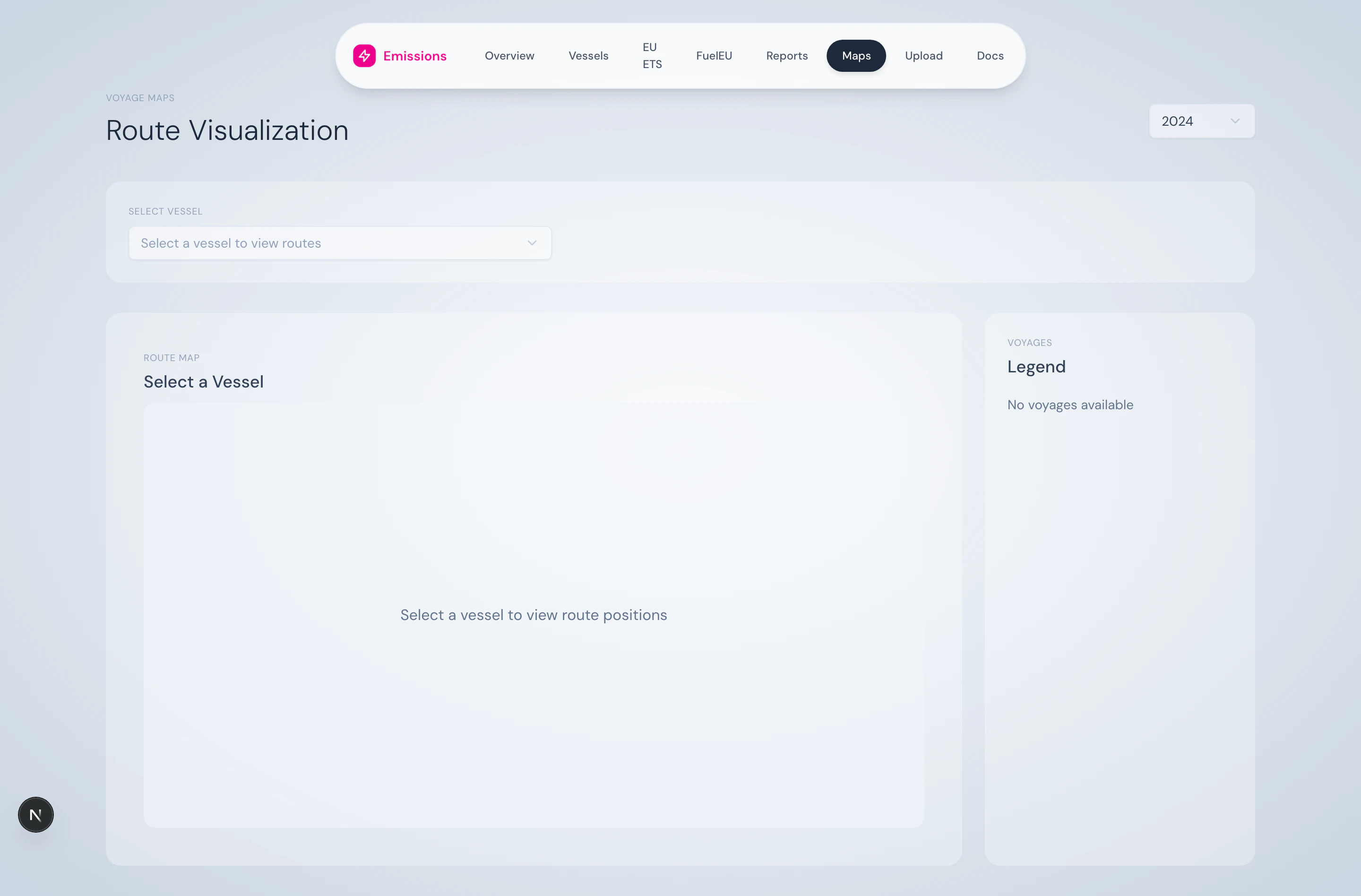 The right-hand legend lists every voyage in the data with:
* Colour indicator
* Voyage name / number
* Position count
* "Selected" badge when active
Click an item to isolate that voyage on the map (others fade to 40% opacity) and to filter the table below. Click again or use the **Clear** button to reset.
### Voyage table (synced)
The right-hand legend lists every voyage in the data with:
* Colour indicator
* Voyage name / number
* Position count
* "Selected" badge when active
Click an item to isolate that voyage on the map (others fade to 40% opacity) and to filter the table below. Click again or use the **Clear** button to reset.
### Voyage table (synced)
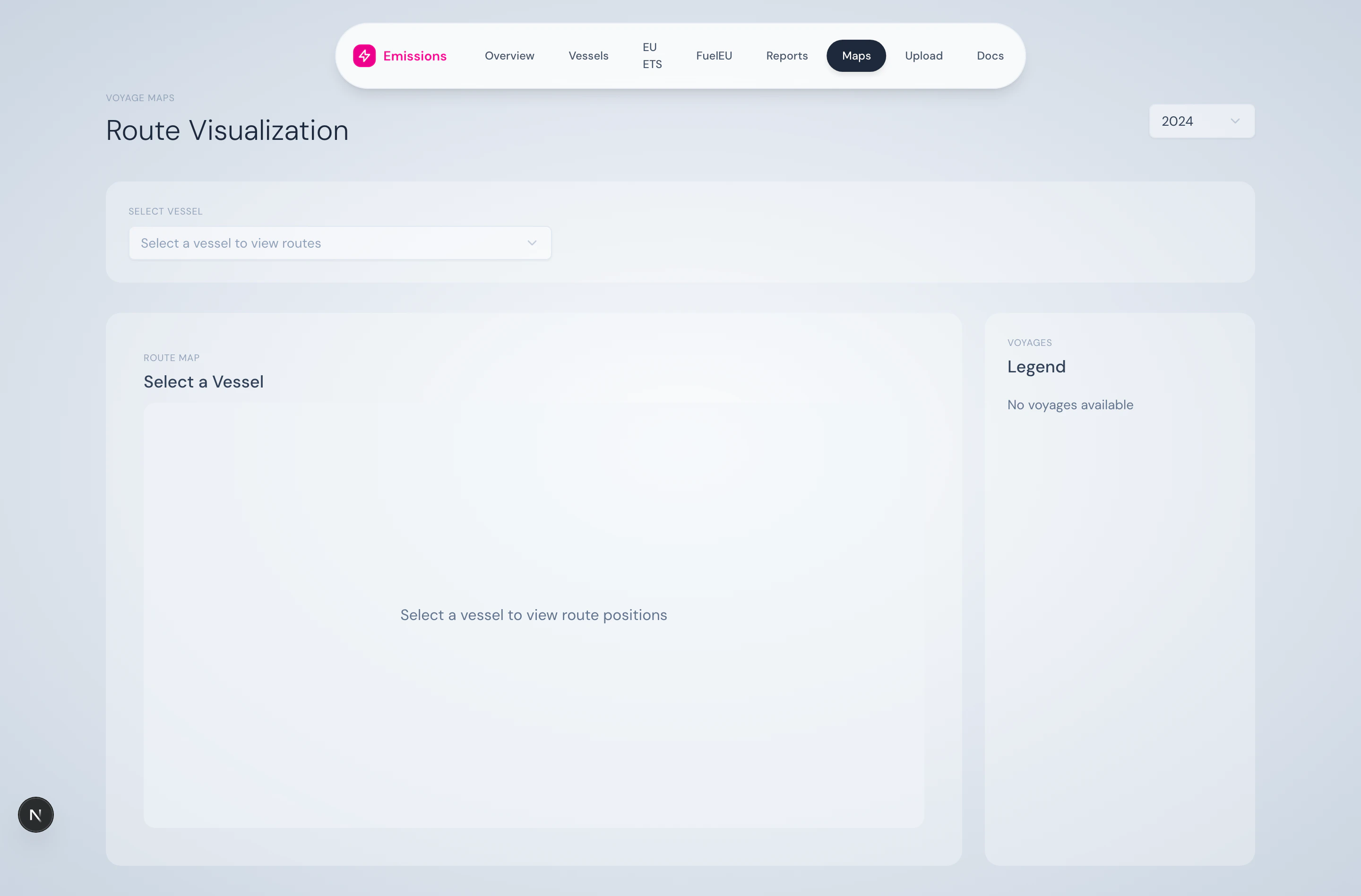 A paginated table (10 rows per page) showing voyage number, route, period, distance, CO₂, average CII, EU ETS type, and ETS cost. The colour dot on each row matches the legend; clicking a row highlights it on the legend (and vice versa).
## What you can do here
* Visually verify that a voyage was sailed where expected
* Trace a high-emissions voyage to its actual route
* Compare voyages by distance, fuel use, or ETS exposure side-by-side
* Use this view in customer/audit conversations as a more accessible alternative to a table
## Tech note
The map uses **Mapbox GL JS** via `react-map-gl`. There's also a Leaflet-based fallback (`VoyageMap`) available if Mapbox tiles fail to load.
## Source
Position data is read from `/api/vessels/[imo]/positions`. Voyage segmentation comes from `VoyageSegmentService`.
A paginated table (10 rows per page) showing voyage number, route, period, distance, CO₂, average CII, EU ETS type, and ETS cost. The colour dot on each row matches the legend; clicking a row highlights it on the legend (and vice versa).
## What you can do here
* Visually verify that a voyage was sailed where expected
* Trace a high-emissions voyage to its actual route
* Compare voyages by distance, fuel use, or ETS exposure side-by-side
* Use this view in customer/audit conversations as a more accessible alternative to a table
## Tech note
The map uses **Mapbox GL JS** via `react-map-gl`. There's also a Leaflet-based fallback (`VoyageMap`) available if Mapbox tiles fail to load.
## Source
Position data is read from `/api/vessels/[imo]/positions`. Voyage segmentation comes from `VoyageSegmentService`.